North American Roads, 2020
Map type: Reference
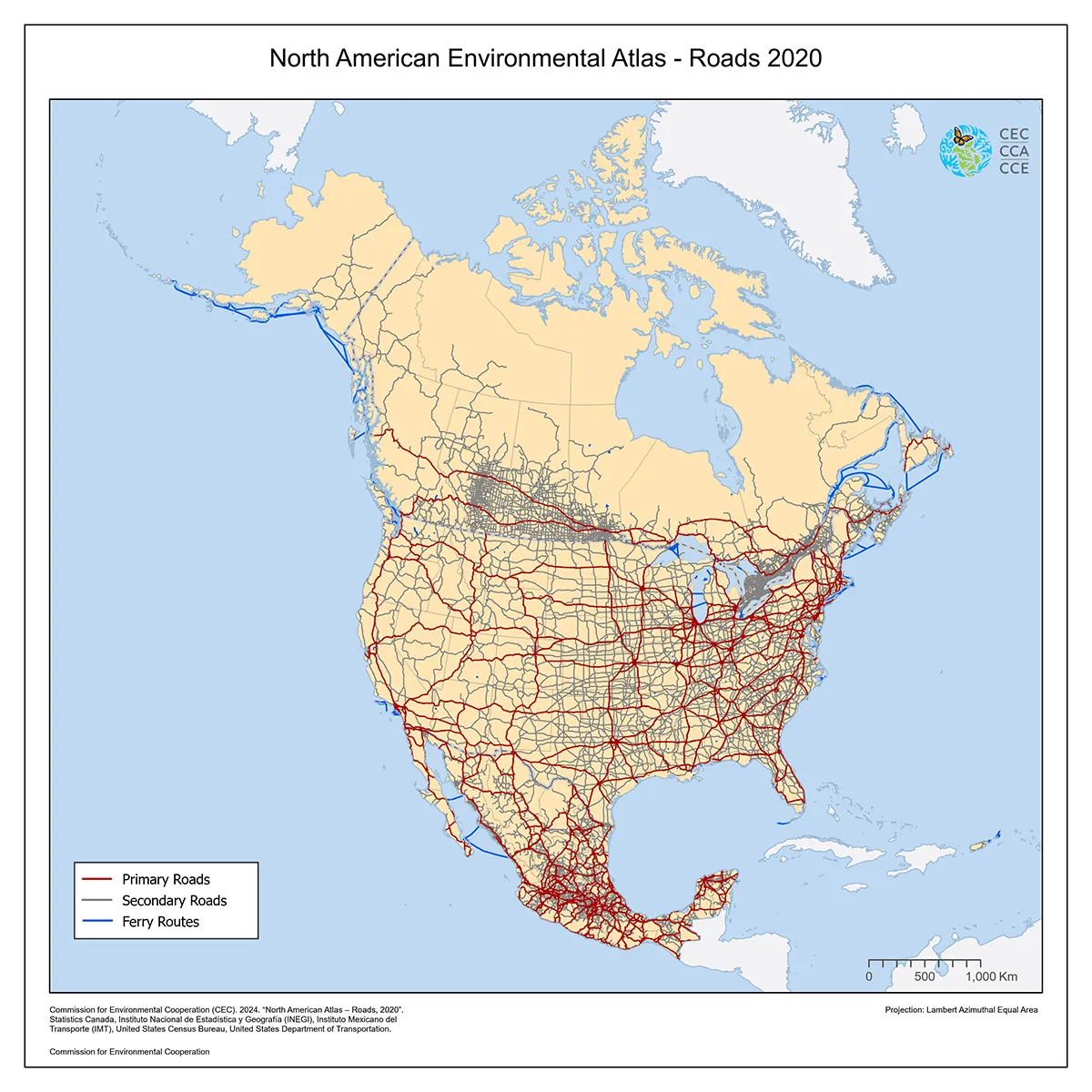
As part of the North American Environmental Atlas, this reference dataset displays the roads network and ferry routes in 2020 across North America under three different categories:
- Major roads: Main roads including divided, multi-lane, and limited access highways.
- Secondary roads: Roads that do not meet the definition of major roads.
- Ferries: Major ferry routes connecting urban areas.
This current version of the North American Roads dataset supersedes the previous version published in 2011.
The 2020 North American Roads dataset substantially increases the level of spatial detail available in the previous map, offering a much larger number of major roads, secondary roads, and ferry routes in Canada, Mexico, and the United States. It delivers standardized and topologically consistent information to assist users in incorporating roads or ferry routes in multiple applications, including research on habitat fragmentation and terrestrial species’ migration, work related to disaster risk management or environmental impact assessment, as well as analysis on economic and social development at continental scale.
Contact
Questions about the North American Environmental Atlas? Contact:
Dominique Croteau
Project Lead, Geospatial and Environmental Information